Apr 022013
 

My fourth great-grandparents, John and Margaret Stewart, were two of the first settlers in what would eventually become Buffington Township, Indiana County, Pennsylvania. John Stewart married Margaret McFarland in 1788 and by 1796 they had a son, my third great-grandfather, James Stewart.

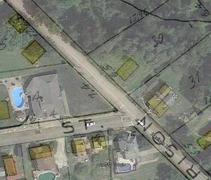
I describe here how I used records available at the Pennsylvania Historical and Museum Commission (PHMC)1 and Google Earth to pinpoint the location of the original Stewart homestead.

Continue reading »

Footnotes
  1. Pennsylvania, “Copied Surveys, 1681-1912,” database and digital images, Pennsylvania State Archives, Land Records (http://www.portal.state.pa.us/portal/server.pt/community/state_archives/2887 : downloaded 9 December 2009), RG-17, Series #17.114, Copied Survey Book C-206, Page 221 and reverse, John Stewart, http://www.phmc.state.pa.us/bah/dam/rg/di/r17-114CopiedSurveyBooks/Books%20C1-C234/Book%20C206/Book%20C-206%20pg%20441.pdf; Pennsylvania Historical and Museum Commission, Bureau of Archives and History.
Mar 262013
 

google-earth-00In a past posting I described how I located the homestead of my great-grandparents Albert and Mary Pohl near Turtle Creek, Pennsylvania.  I’ve since found that Google Earth is another tool to further visualize the location.  It is helpful in modernizing old maps to better understand where my ancestors lived.

What I did is add an overlay of an old map to the modern world shown in Google Earth.  This allows you to see precisely where a road, building or property once stood in relation to what’s there now.

Continue reading »